LOCAL
Coquihalla Southbound Faces Potential Delays: Travel Advisory Issued for Major B.C. Corridor


Key Takeaways
- Drivers are advised of potential significant delays on the southbound lanes of the Coquihalla Highway.
- The warning pertains to a critical transportation route connecting British Columbia’s Lower Mainland with the Interior.
- Motorists should anticipate longer travel times and plan their journeys accordingly.
- The advisory underscores the need for vigilance when traversing major highway systems.
The Deep Dive
Authorities have issued a travel advisory for the Coquihalla Highway, cautioning drivers about possible delays on its southbound stretch. This vital artery, officially known as Highway 5, serves as a primary link between the populous Lower Mainland and the interior regions of British Columbia, facilitating both commercial transport and personal travel. While specific causes for the anticipated delays were not detailed in the initial alert, such warnings on the Coquihalla often stem from a range of factors including adverse weather conditions, ongoing maintenance work, traffic incidents, or simply increased volume during peak travel periods. Drivers are strongly encouraged to monitor real-time traffic updates and road conditions before embarking on their journey, allowing ample extra time for travel.
Why It Matters
Delays on the Coquihalla Highway carry substantial implications beyond mere inconvenience. As a crucial corridor for goods movement, any disruption can impact supply chains and local economies throughout the province. For individuals, unexpected hold-ups can derail travel plans, affect business appointments, and potentially lead to safety concerns if drivers are caught unprepared in challenging conditions. This advisory serves as a timely reminder of the dynamic nature of travel on major routes and the importance of proactive planning for all road users in British Columbia.

COMMUNITY
Why Okanagan Residents Are Being Urged to Rethink Water Use and Waste as Droughts Worsen
Climate change and rising temperatures disrupt the Okanagan water cycle, causing severe drought and threatening aquatic ecosystems and salmon populations.
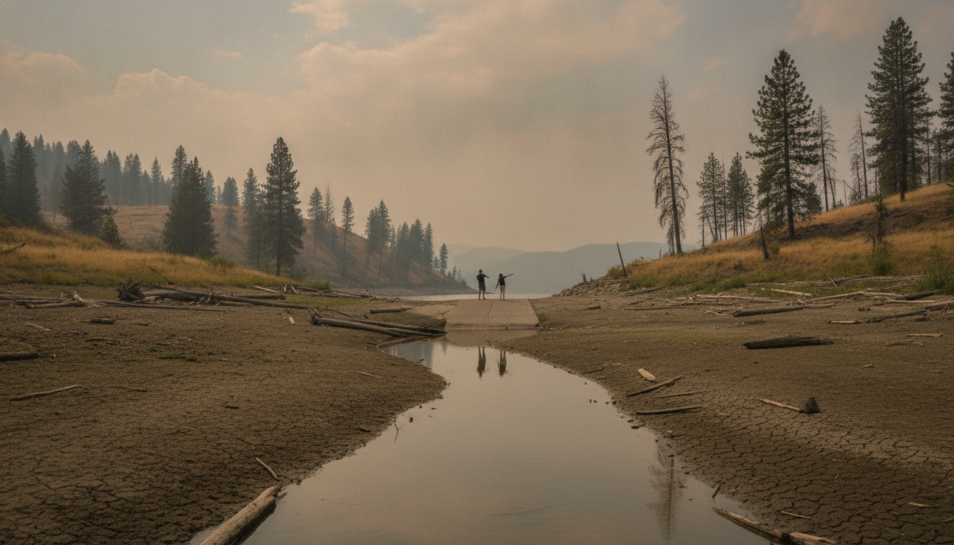
Changing Climate Alters Regional Water Cycle
Depleted water levels in the Okanagan are threatening aquatic ecosystems and putting additional stress on local salmon populations. Warmer temperatures and changing climate patterns are leading to smaller amounts of snow and rain, earlier snowmelts, and longer, drier summers across the region. Local water systems face severe drought and potential desertification if withdrawals exceed what nature naturally replenishes each year.
Human Activity and Extreme Weather Patterns
Greenhouse gases—including nitrous oxide from synthetic fertilizers, methane from livestock and decomposing garbage, and emissions from burning fossil fuels—continue to trap atmospheric heat. As air molecules warm up, they move faster and more erratically, creating conditions that drive longer, more severe, and more frequent extreme weather events. While heavy downpours cause flooding in certain regions, escalating heat and prolonged dry spells spark massive wildfires locally.
Reframing Waste and Personal Responsibility
Deteriorating natural environments, wetland destruction, deforestation, and pollution further reduce the capacity of long-established ecosystems to adapt to rapid warming. Addressing these challenges requires shifts in societal attitudes regarding affluence, consumption, and waste. Developing nations and wealthier societies often generate the most pollution and trash, whereas other cultures prioritize reusing materials. Local residents are encouraged to reconsider everyday habits, consume less, and spend time outdoors to better connect with nature.
Local Initiatives Offer Educational Resources
Community members seeking practical ways to reduce their environmental footprint can access regional tools. Resources such as Vernon’s Climate Action Plan at Vernon.ca/climate-action outline municipal initiatives and offer guidance for residents. Additionally, okanaganclimate.ca provides detailed information on how global warming directly affects the Okanagan region.
COMMUNITY
Why Are we Being Urged to Rethink Water Use and Waste as Droughts Worsen
Climate change and rising temperatures disrupt the Okanagan water cycle, causing severe drought and threatening aquatic ecosystems and salmon populations.
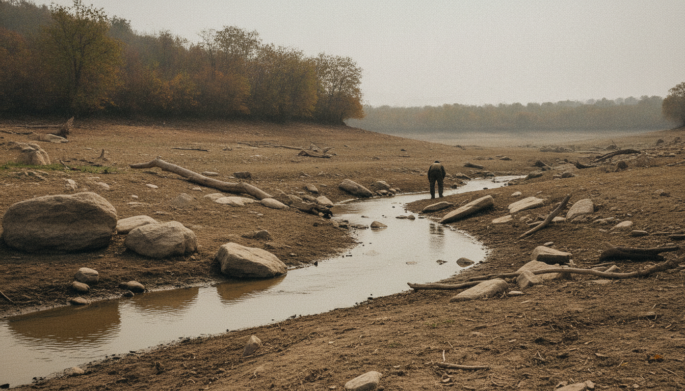
Changing Climate Alters Regional Water Cycle
Depleted water levels in the Okanagan are threatening aquatic ecosystems and putting additional stress on local salmon populations. Warmer temperatures and changing climate patterns are leading to smaller amounts of snow and rain, earlier snowmelts, and longer, drier summers across the region. Local water systems face severe drought and potential desertification if withdrawals exceed what nature naturally replenishes each year.
Human Activity and Extreme Weather Patterns
Greenhouse gases—including nitrous oxide from synthetic fertilizers, methane from livestock and decomposing garbage, and emissions from burning fossil fuels—continue to trap atmospheric heat. As air molecules warm up, they move faster and more erratically, creating conditions that drive longer, more severe, and more frequent extreme weather events. While heavy downpours cause flooding in certain regions, escalating heat and prolonged dry spells spark massive wildfires locally.
Reframing Waste and Personal Responsibility
Deteriorating natural environments, wetland destruction, deforestation, and pollution further reduce the capacity of long-established ecosystems to adapt to rapid warming. Addressing these challenges requires shifts in societal attitudes regarding affluence, consumption, and waste. Developing nations and wealthier societies often generate the most pollution and trash, whereas other cultures prioritize reusing materials. Local residents are encouraged to reconsider everyday habits, consume less, and spend time outdoors to better connect with nature.
Local Initiatives Offer Educational Resources
Community members seeking practical ways to reduce their environmental footprint can access regional tools. Resources such as Vernon’s Climate Action Plan at Vernon.ca/climate-action outline municipal initiatives and offer guidance for residents. Additionally, okanaganclimate.ca provides detailed information on how global warming directly affects the Okanagan region.
LOCAL
Residents told to prepare for return home as fire crews make progress on Quilpituk Creek blaze
Central Okanagan officials advise evacuees to prepare for re-entry as firefighters gain containment on the 1,291-hectare Quilpituk Creek wildfire.
Safety Assessments Underway as Re-Entry Plans Form
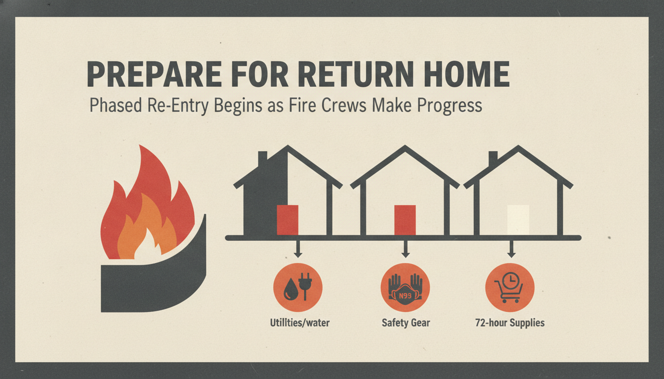
Evacuated residents should begin preparing for a potential return home, according to an update issued Wednesday morning, Aug. 12, by the Central Okanagan Emergency Operations Centre (EOC). While all evacuation orders and alerts remain active, BC Wildfire Service (BCWS) crews are making progress on containment, allowing safety assessments to deploy. Officials noted that re-entry could occur in phases to ensure a safe return, though an exact timeline has not been established.
To assist returning residents, the EOC plans to distribute information packages. Household preparation recommendations include readiness to clean and sanitize fridges and freezers according to Interior Health guidelines, alongside checking with utility providers regarding water service and potential Boil Water Notices.
Essential Supplies and Cleanup Precautions
Officials advise residents to gather enough provisions to remain self-sufficient for at least 72 hours. Recommended items include bottled water, non-perishable food, prescription medications, pet supplies, flashlight batteries, cell phone chargers, and cash, as electronic payment networks might be offline. Due to hazards posed by soot, ash, and smoke, returning households are also encouraged to secure protective gear such as N95 masks, work gloves, safety goggles, long-sleeved clothing, garbage bags, and disinfectants.
Weather Risks and On-the-Ground Operations
Suppression efforts have effectively held the Quilpituk Creek fire to Rank 1 and 2 behaviour, characterized mostly by smouldering ground fire, white smoke, and no open flames. However, BCWS warns that Wednesday afternoon weather could bring localized thunderstorms, gusty winds reaching 60 km/h, and dry lightning. While cooler temperatures and higher relative humidity are anticipated for Thursday and Friday, atmospheric instability and isolated thunderstorm risks will persist with light easterly or northeasterly winds.
Along the southwest flank, ground crews established hose lay systems to deliver water directly to the fire’s perimeter, allowing aggressive mop-up operations in terrain inaccessible to heavy engines. Concurrently, BC Hydro crews continue work along Westside Road to re-energize electrical infrastructure and assess dangerous trees. Westside Road remains closed.
Resourcing and Reporting Changes
With fire activity diminishing, BCWS announced it will reduce regular public briefings to once daily unless significant developments occur. Personnel numbers have seen minor adjustments; the Bradley Creek wildfire complex—comprising both the Quilpituk Creek and Bradley Creek fires—is currently managed by an Incident Management Team, 113 firefighters, seven helicopters, 38 pieces of heavy equipment, and 25 structure protection members.
The Quilpituk Creek wildfire remains classified as out of control at an estimated 1,291.9 hectares, representing one of 104 active wildfires across British Columbia.
Road Closure in Prince George Following Fatal Emergency Plane Landing
Shift toward populist direction fuels tension and departures in B.C. Conservative Party

Carney’s Exit From U.S. Trade Talks Leaves Canadian Exporters Facing 50% Duties

A 1970 Orca Escape Led to 13 Wild Calves — Now an Author Is Searching for the Person Who Freed Them

Why Okanagan Residents Are Being Urged to Rethink Water Use and Waste as Droughts Worsen

Why Are we Being Urged to Rethink Water Use and Waste as Droughts Worsen

Opinion: John Rustad Has to Go

B.C. Supreme Court Grants Cowichan Tribes Title to Historic Richmond Lands and Fishing Rights

Vancouver Canucks Gear Up for a Make-or-Break 2025–26 Season

Kamloops Blazers Announce Off-Season Changes Ahead of 2025–26 Season

BC Ferries Sparks Outcry Over Contract with Chinese Shipyard

A Taste of Autumn: Fall Okanagan Wine Festival 2025
-

 OPINIONS5 days ago
Canada’s Conservative Influencers Are Fighting for the Future of the Movement
-
 LOCAL5 days ago
Residents told to prepare for return home as fire crews make progress on Quilpituk Creek blaze
-
 BC STORIES5 days ago
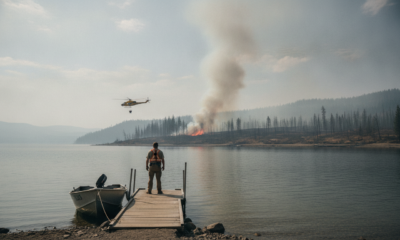
What Residents and Boaters Need to Know as Crews Target Bradley Creek Wildfire Hot Spots
-
WORLD5 days ago
Unused Launchers Expose Ukraine’s Severe Patriot Missile Shortage
-
NATIONAL STORIES5 days ago
Clock Ticks Toward Midnight Tariffs as Canada-U.S. Trade Talks Reach Critical Stage
-
 BC STORIES4 days ago
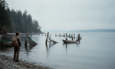
A 1970 Orca Escape Led to 13 Wild Calves — Now an Author Is Searching for the Person Who Freed Them
-

 BC STORIES5 days ago
How Enjoying an Ice Cream Treat Today Helps BC Children’s Hospital
-

 BC STORIES5 days ago
BC Lions Extend Winning Streak to Three After Thrilling Fourth-Quarter Comeback Against Stampeders